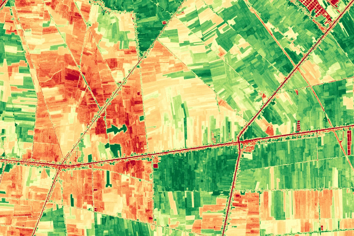
GeoAI & Satellite Imagery
Seeing the big picture from space with AI
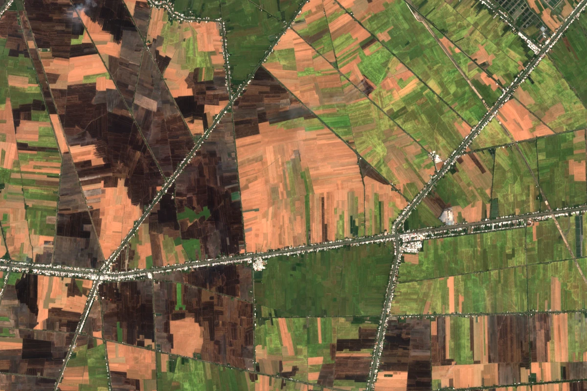
We analyze satellite and aerial imagery with deep learning to answer questions on the ground: what is growing where, how healthy is it, what has changed, and where is the risk. From satellite-imagery pipelines to interactive WebGIS dashboards.
Core Capabilities
Crop Classification & Mapping
Identify crop types and planted areas from multispectral time series - rice, fruit trees, industrial crops.
Vegetation Health (NDVI/EVI)
Track crop vigor across seasons with vegetation indices, spotting stress zones before yield loss.
Change Detection
Detect land-use change, construction, deforestation, and encroachment between image dates.
Flood & Drought Mapping
Map inundated areas from SAR/optical imagery and monitor drought indicators for early response.
Forest Monitoring
Continuous deforestation and forest-degradation alerts for protected areas and plantations.
Semantic Segmentation & WebGIS
Deep-learning segmentation of remote sensing imagery, delivered as GIS layers and web maps.
Problems We Solve
Field Intelligence from Orbit
Combine satellite indices with TekFarm field data to estimate yields, delineate planting regions, and prioritize scouting - no drone required.
How It Works
Technology Stack
Try the Interactive Demo
GeoAI Satellite Analysis
Enterprise-grade remote sensing and AI pipeline orchestration
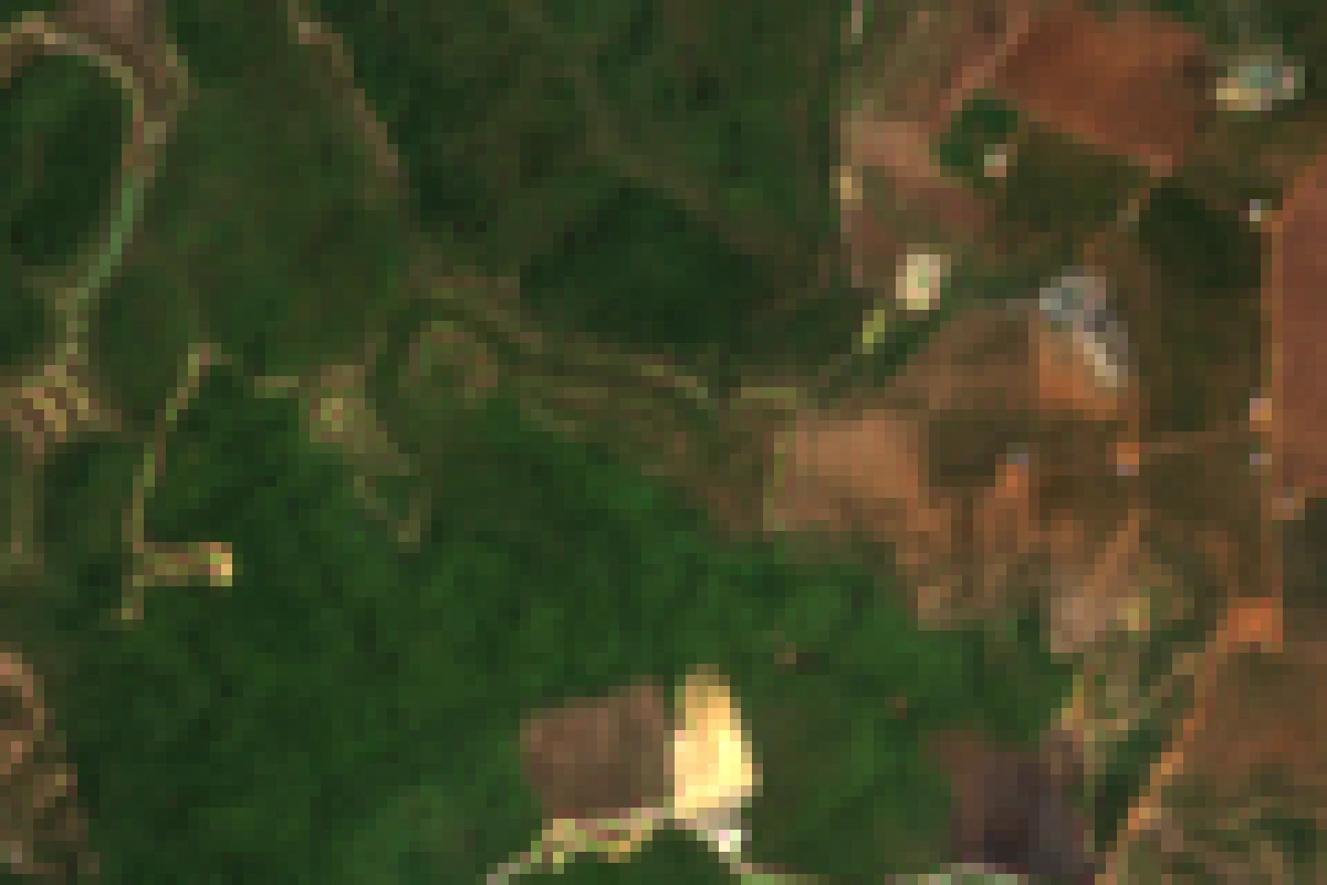
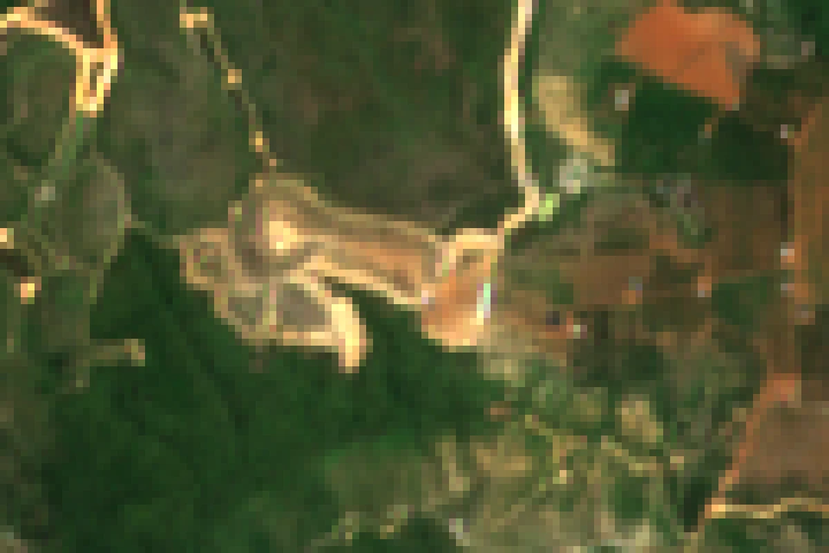
Simulated demo in your browser. Live pipelines query STAC APIs and process Cloud Optimized GeoTIFFs from AWS S3.