Back to Projects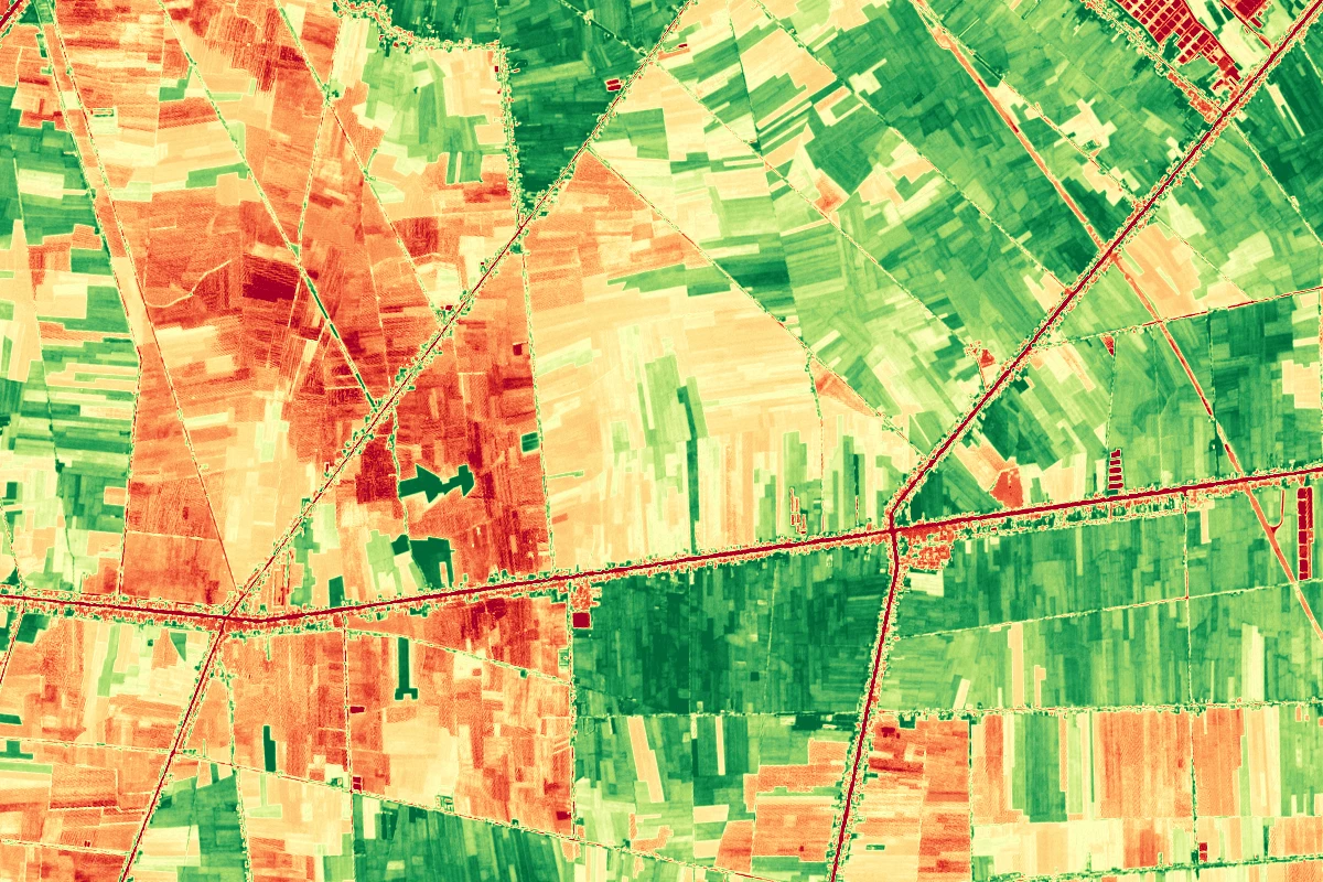
geoai_satelliteBeta
Satellite Crop Monitoring
Satellite Crop Monitoring processes free, publicly available satellite imagery into actionable agriculture insights. The pipeline classifies crop types from multispectral time series, computes NDVI/EVI vegetation indices to track crop vigor across the season, and flags stress zones for targeted scouting. Results are served as GIS layers on an interactive web map and can feed the TekFarm platform, enabling yield estimation and planted-area statistics at regional scale.
Part of our solutions
Tech Stack
Other
Google Earth Engine
AI/ML
RasterioPyTorchU-Net
Backend
GeoServer
Frontend
Leaflet
Key Features
Crop type classification from time series
NDVI/EVI vegetation health tracking
Stress zone alerts for scouting
Interactive WebGIS delivery
TekFarm platform integration
Try It Live
Sentinel-2NDVIGoogle Earth EngineSegmentation
Want something like this for your business?
Tell us your use case - we will tailor an AI & IT solution to your context.
Get in Touch