Back to Projects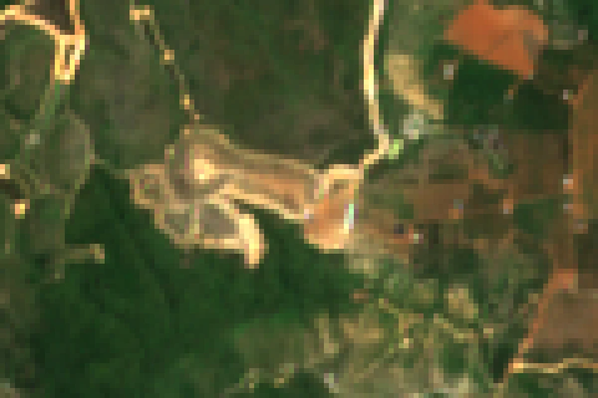
geoai_satelliteComing Soon
Land-use Change Detection
Land-use Change Detection compares satellite images across time to automatically surface what changed on the ground: cleared forest, new construction, riverbank erosion, or encroachment on protected land. Deep-learning models produce change polygons with confidence scores, which are reviewed on a web map and exported to GIS formats for authorities and enterprises managing large territories.
Part of our solutions
Tech Stack
AI/ML
PyTorchSiamese U-Net
Other
GDALQGIS
Database
PostGIS
Key Features
Automated change polygons with confidence
Deforestation and encroachment alerts
Construction change monitoring
GIS export (Shapefile/GeoJSON)
Try It Live
Change DetectionSiamese NetworkLandsatGIS
Want something like this for your business?
Tell us your use case - we will tailor an AI & IT solution to your context.
Get in Touch