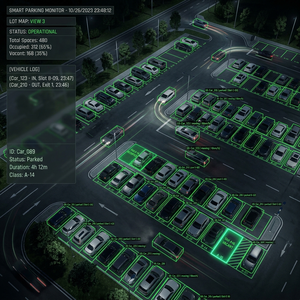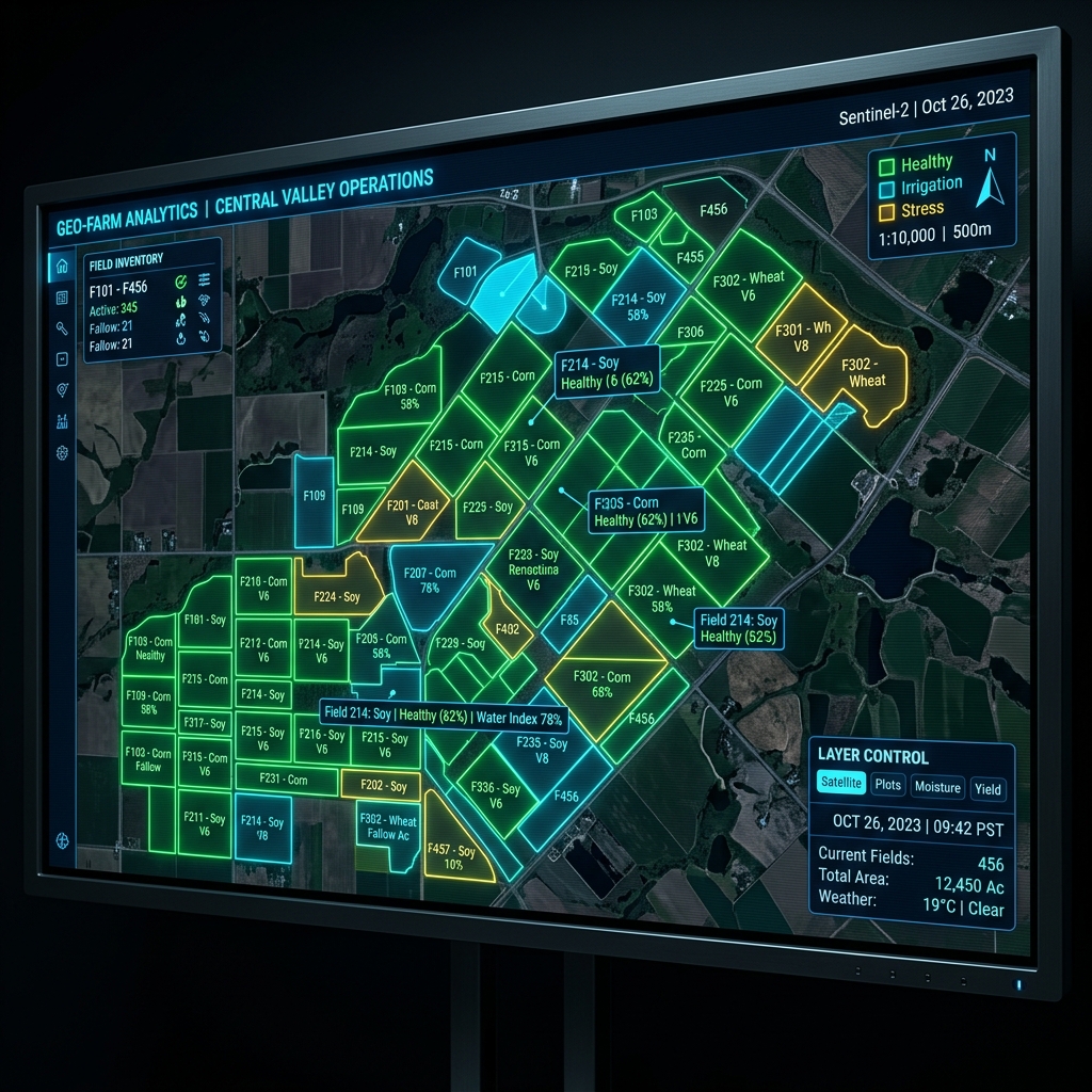
Data in smart agriculture goes far beyond simple sensor readings; it is deeply tied to geographic coordinates, cultivation areas, and spatial boundaries.
Backend Architecture with Django 5 and PostgreSQL
The heart of our agriculture management system (TekFarm) is PostgreSQL, but its true power lies in the PostGIS extension. Storing farm boundaries as geometric objects (Geometry/Geography fields) in Django 5 allows us to execute complex spatial queries incredibly fast—such as finding all IoT sensor stations within a 2km radius from the center of a flooded field.
Scaling with FAISS Vector Store
While PostGIS handles the "Spatial" component, we needed a solution for the "Knowledge" aspect. Agricultural clients possess vast amounts of farming manuals and fertilization procedures formatted in Markdown.
By integrating a local FAISS Vector Store, the system can cross-reference data. When a soil moisture alert is triggered at Coordinate X (handled by PostGIS), the system immediately queries FAISS to extract snippets from Markdown documents containing the most relevant irrigation guidelines for the specific soil type at that exact location.